|
 Chickasaw State Park, AL:
February 11, 2017
no trailis
Distance: -- miles
[View Photo Gallery]
This will likely be one of the shortest pieces I've ever written about a state park. Our final stop on our little road trip was another of the five state parks closed in 2015, and since reopened under county management. Though over 500 acres in size, most of the land here is part of the Turnipseed-Ikenberry Physically Disabled Hunting Area, mostly clear cut, and requires a permit to enter. What little land open to the non-hunting public is on the other side of the highway, effectively a roadside park with some campsites squished in for good measure. Yet another spot on the Alabama Black Belt Birding Trail, you're limited to the fringe forests around the edge of the park for birdwatching, a mixture of tall pines and younger deciduous. Unlike Bladon Springs, Chickasaw still boasts a granite marker labeling it as a state park.
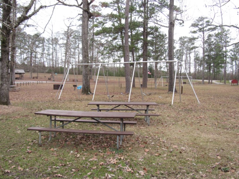
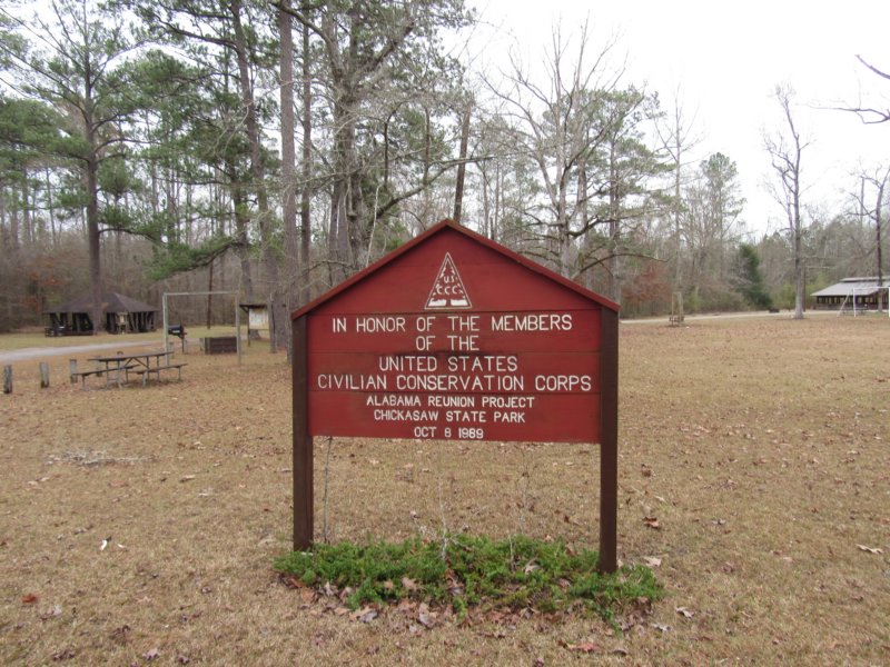 Consisting of a small unpaved loop, the state park has a number of pavilions, with a large grassy area and playground in the center of the loop. There are no trails to speak of here, though some websites lists hiking as an activity. An old topo map shows a “flowing well” off into the woods before meeting Whirl Creek, but following what appeared to be an old road bed quickly became scrubby and swamped from the recent rains. Like Bladon Springs, the land has some historical value, being of CCC construction on lands the state has owned since 1819. Also like Bladon Springs, it seems another missed opportunity in a poor part of the state where money talks, and timber is king.
|