|
 Mill Creek:
January 5, 2013
Bankhead National Forest, AL
Distance: 2 miles
[View Photo Gallery]
I kicked off the New Year by going on a Wild South, the first in a series celebrating the completion of the canyon survey program. This hike featured Dr. Bruce Bizzoco, an archaeologist and professor from Shelton State Community College. We started the outing with some brief presentations at the Wild South office before heading on our way to Mill Creek.
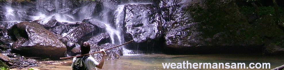
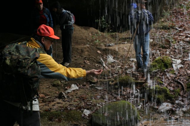
I met several folks I’d ‘known’ online for a while, Tim, Robert and their wives. The first thing I noticed after we found the pull off area for parking was the lack of underbrush and quite a number of tree marked with blue paint. I’m assuming the trees are marked to be thinned, and that the area had some kind of controlled burn in the last year or two. We set out down the road, and followed it as it descended into the canyon, and of course almost immediately the canyon walls begin to rise. I’ve been told this is a unique area along the creek, that most of it is flat and rolling hills, so the rock formations here were very interesting and no doubt added to the biodiversity of the area. The first shelter we stopped at had a small waterfall that were barely a trickle, and several people lined up like ducks in a row for their photo taken on the large long mound of piled dirt from where looters had been in searching for artifacts. This destruction of shelters would be an early and often theme, rampant in nearly every place we came across. A cold day, I stopped to take photos of the neat ice formations along a fallen tree where the small falls was. Another big theme of today’s hike was ‘water crossings’, and there proved to be no sure fire way to getting across without getting wet, except by tree. Nearly exactly one year to the day that I last feel in a creek trying to cross a slippery tree, I gave thought to trying my luck again. This time, though, after getting halfway across and turning back, I didn’t slip, though the wind blew my hat off and into the water much to my annoyance. Thankfully it was easy to fish out.
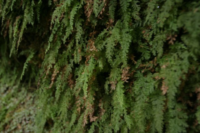
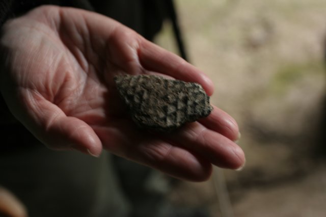
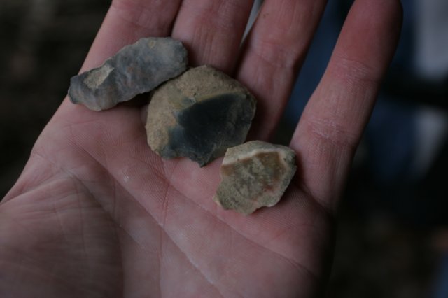
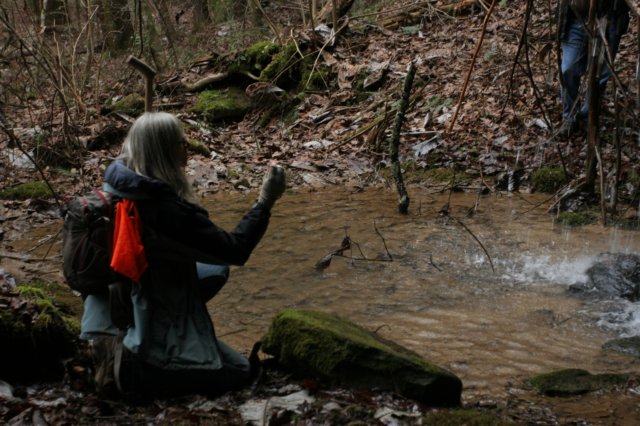 Almost as soon as we crossed, just a few hundred feet downstream, we had to cross again. Each bend in the stream here seemed to have a large rock sticking out at the creek bank making it impossible to go around or climb due to the height. Crossing here was easier at least, with some well spaced rocks to hop to. We entered a kind of brushy area that’d seen a good deal of canopy loss. I could immediately hear water falling, and skipped ahead to what was our second meeting spot, and hands down the most dug up and destroyed rock shelter I’ve ever visited. The waterfall was approximately 15-20 feet tall, and plunged into an old bucket left behind by looters. We found an old wooden sifter, very similar in style to the one I broke up years ago at another spot in Bankhead. Flint shards were everywhere, and after washing some of them off, Dr. Bizzoco was able to tell us a lot about the native Americans who used the shelter. As always, I was intrigued by the large mass of filmy ferns I found growing against the far wall, stopping to photograph them. I also came across a rather large bolt way high in a crevice in the shelter. It was well preserved, but didn’t offer much insight on the shelter itself, so we proceeded onward.
 Once again the tall bluffs prevented us from rounding the bend, but this would be the furthest downstream we would venture anyway. We crossed here en route to the third destination we wanted to see, a unique elevated shelter. Just below a small cascades one of the group members spotted a hunk of metal and managed to drag it out. We determined it was a piece of an old moonshine still.
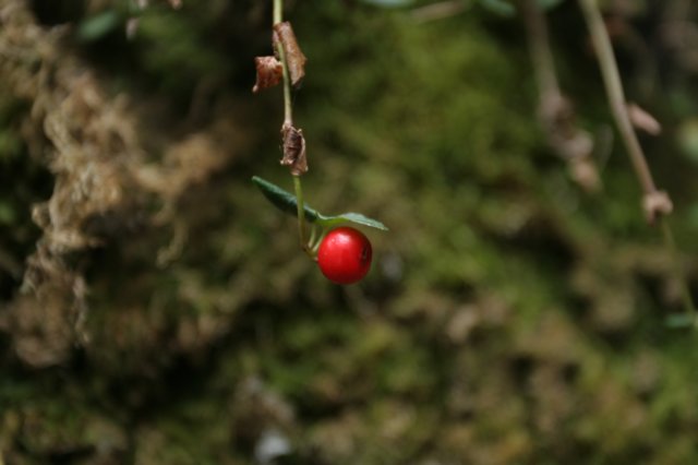
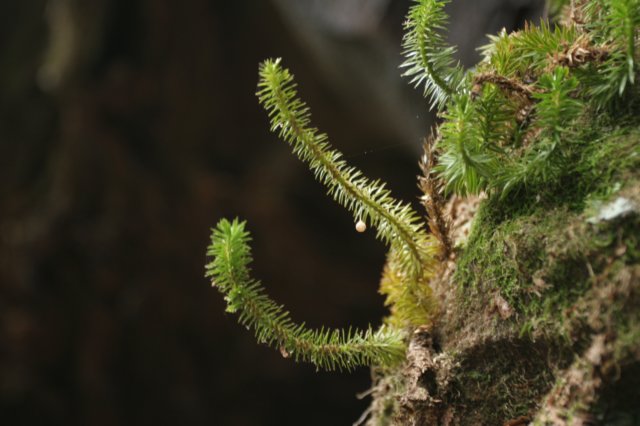
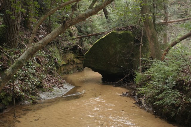
This shelter was probably the most interesting one we saw on the hike. Dry now, a waterfall certainly lived here. One could follow the deep cut in the rock. I found club moss and a multitude of tiny ferns growing off the rock face itself. We used a small stepladder to make ease of climbing up into the shelter itself. A great place to get out of the elements here, there were several small mounds of dirt where some looting had taken place at least. Some very neat pottery shards were found and it was believed these shards were from a later civilization of native Americans. There were liesegang banding in iron on the ceiling. We’d see better formations of these later. I’ve seen these many times in the past, but never knew they had a specific name. Saw some evidence of pigs rubbing up against the trees here. No matter where you go in the forest, it seems like the pig problem is everywhere. After a relaxing lunch, we set out back the way we came, but after the last water crossing, stayed by the creek instead of ascending back to our vehicles, there was still more to see! The rock face on the other side of the creek was cut out, almost hiding a nice gurgling section of Mill Creek. I spotted cranefly orchid and spotted wintergreen, which almost seems as abundant as the pig population in Bankhead.
Once again the tall bluffs prevented us from rounding the bend, but this would be the furthest downstream we would venture anyway. We crossed here en route to the third destination we wanted to see, a unique elevated shelter. Just below a small cascades one of the group members spotted a hunk of metal and managed to drag it out. We determined it was a piece of an old moonshine still.
This shelter was probably the most interesting one we saw on the hike. Dry now, a waterfall certainly lived here. One could follow the deep cut in the rock. I found club moss and a multitude of tiny ferns growing off the rock face itself. We used a small stepladder to make ease of climbing up into the shelter itself. A great place to get out of the elements here, there were several small mounds of dirt where some looting had taken place at least. Some very neat pottery shards were found and it was believed these shards were from a later civilization of native Americans. There were liesegang banding in iron on the ceiling. We’d see better formations of these later. I’ve seen these many times in the past, but never knew they had a specific name. Saw some evidence of pigs rubbing up against the trees here. No matter where you go in the forest, it seems like the pig problem is everywhere. After a relaxing lunch, we set out back the way we came, but after the last water crossing, stayed by the creek instead of ascending back to our vehicles, there was still more to see! The rock face on the other side of the creek was cut out, almost hiding a nice gurgling section of Mill Creek. I spotted cranefly orchid and spotted wintergreen, which almost seems as abundant as the pig population in Bankhead.
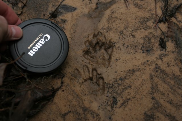
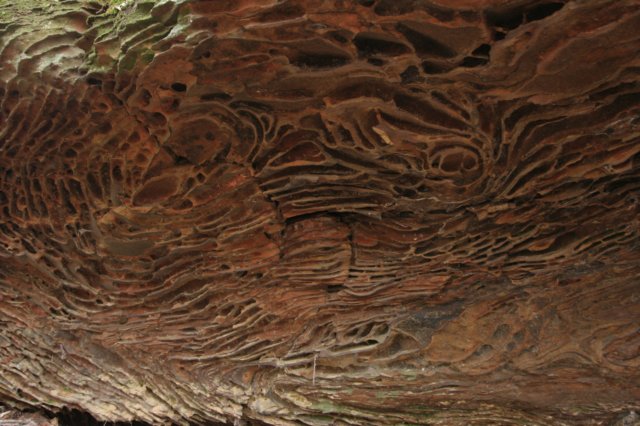 We crossed a smaller little branch of the stream and stopped to look at an arborglyph that’d faded too much for me to read what it said without chalking it [a very anti-leave-no-trace thing to do]. While the others were chatting about it, I wandered closer to the bluff for some photos and found possum tracks, the first animal prints I’d seen all day. I also helped fish out a large plastic blue thing wedged in a small log jam. Shortly thereafter, I spotted another tree carving that most others missed with the initials “W S S”. I’ve seen this carved in several other parts of the forest and the wilderness area, but have no idea what it references. Walking upstream, the land opened up a bit, with rolling hills on one side and an old road bed that made it’s way down to the valley floor. We crossed near the junction of two stream branches, veering up the left branch. The walls closed in again and we went sharply uphill to the bluff line to find a small, but also heavily dug shelter. Here, flint shards were quite abundant, and we spent some time wiping off different ones and examining them. I spotted a plastic bottle wedged in a tree down by the creek, and wandered down to get it, taking time to admire some rather large beech trees left behind when the area along the ridge was clear cut. I have a feeling I would have found some carvings on those, but opted to stay with the group and continue on. We soon ascended to the bluff line again, and to a hidden waterfall, about 30ft tall. At its base were the remnants of an old stone structure associated with a moonshine still, a broken glass jug was about all that remained to tell the tale. Continuing on, we entered a bit of a boulder garden, and the large boulder to one side had a really interesting almost fish scale like texture to it. These sat roughly at the junction of two smaller streams, where a tree with a weird root pattern made it look like a giant spatula. Beneath the bluff on the left were very nice liesegang banding in the rocks. We also discovered what we thought was a rare fern, but it ended up being a juvenile Christmas fern. The landscape past this area reverted back to fairly flatland with rolling hills. We turned up a side drain, passing a possible Indian marker tree and made our way back to the old road, completing the loop back to our vehicles.
|