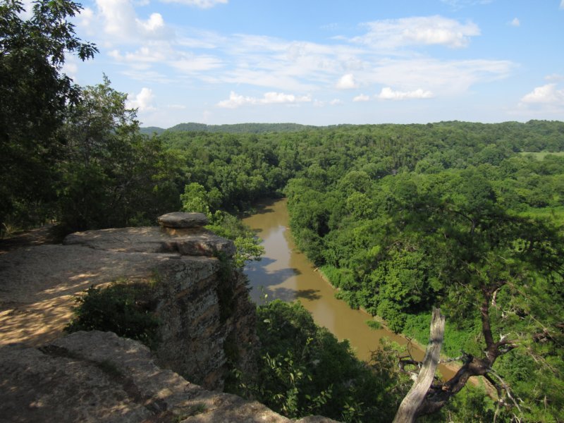
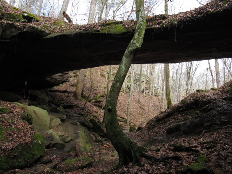
Nov 16
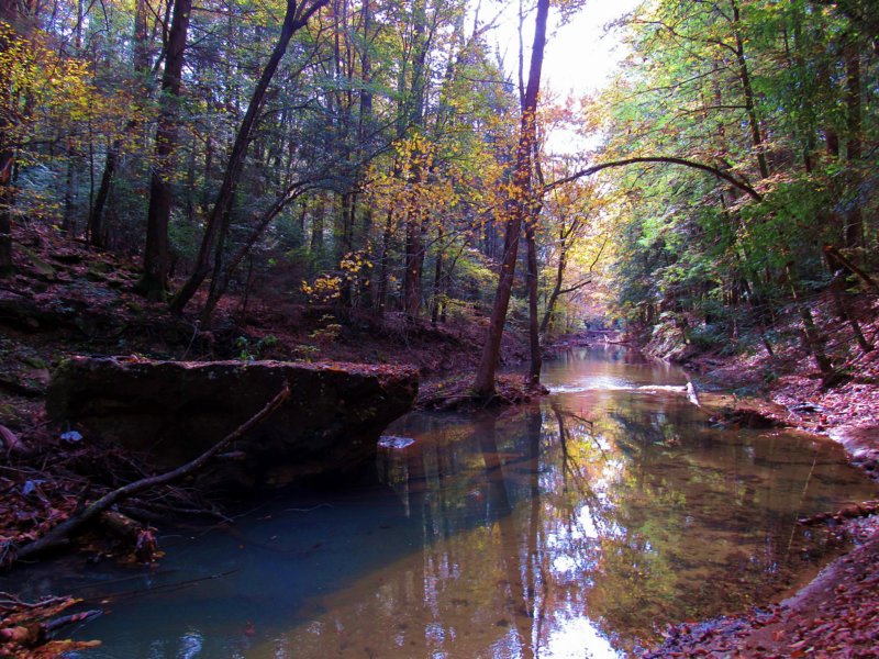
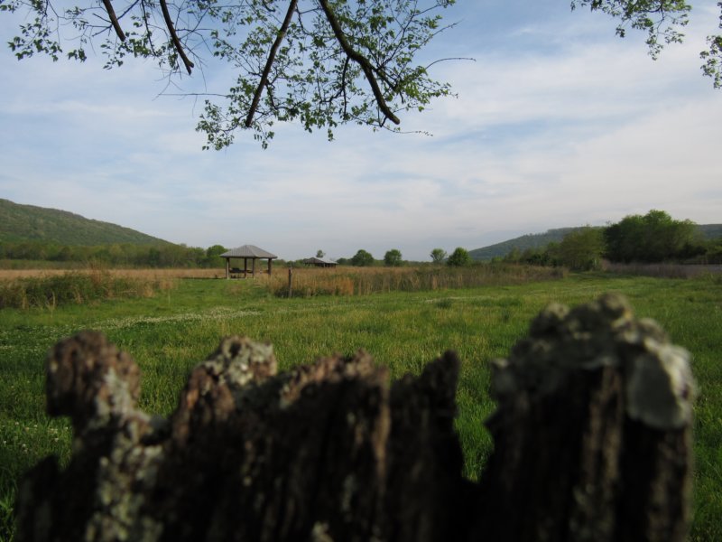
Bankhead National Forest, AL
Brown Creek
Length: 4 mi
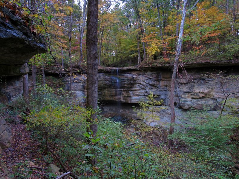
Oct 28

Falls Of The Ohio State park, IN
Fossil Beds, Woodland Trail
Length: 1.5 mi
Oct 27
Fairmount Falls Park
Fairmount Falls Loop
Length: 1 mi
Sep 16
Holly Springs National Forest, MS
Baker's Pond Trail
Length: 1 mi
Sep 15-16
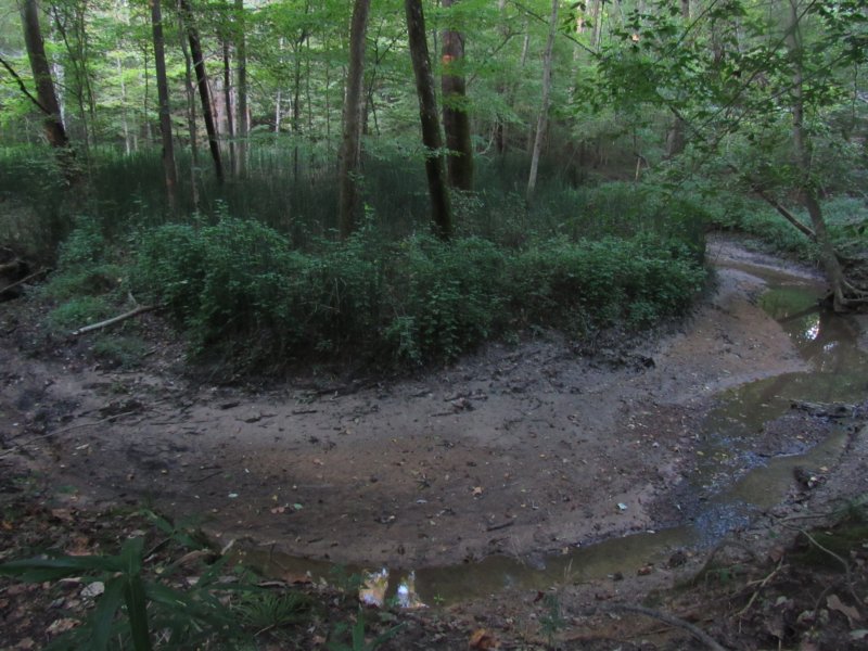
Meeman-Shelby Forest State Park, TN
Woodlands Trail
Length: 3.1 mi
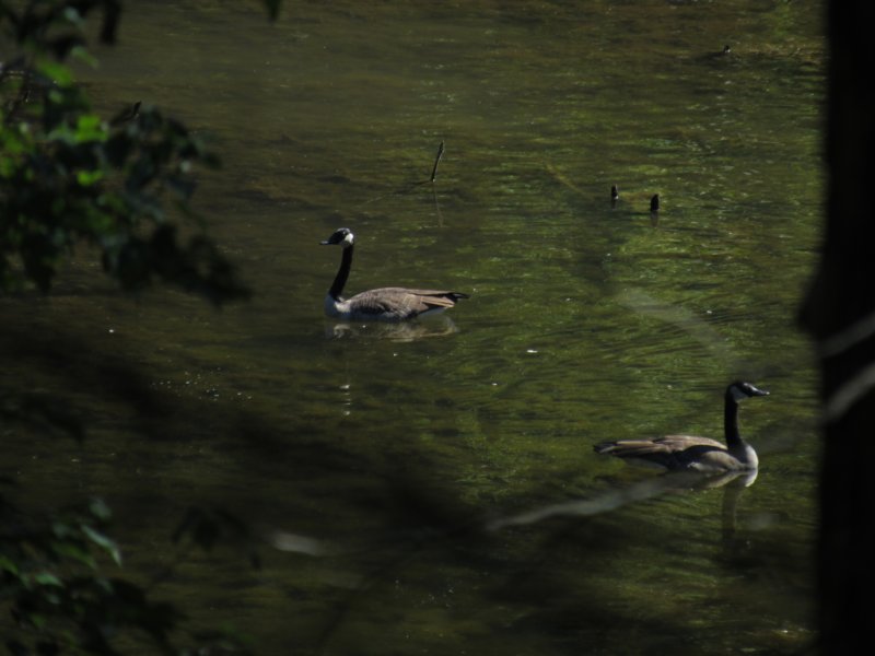
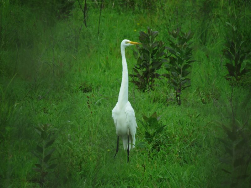
Sep 15
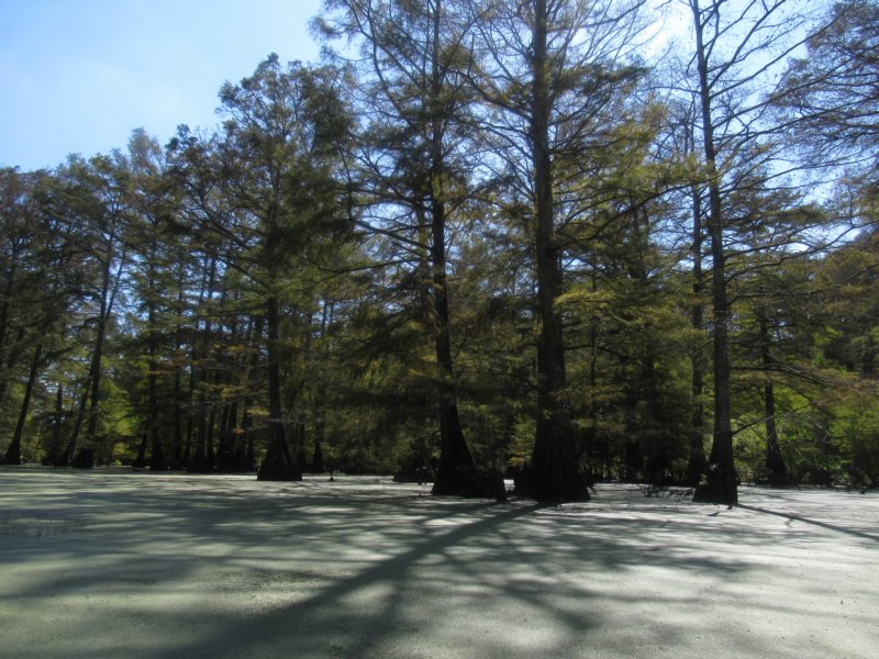
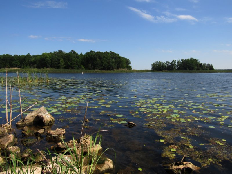
Wapanocca National Wildlife Refuge, AR
Cypress Discovery Trail
Length: 1.75 mi [kayaking]
Sep 15
Towosahgy State Historic Site, MO
Unnamed trails
Length: 0.5 mi
Sep 15
Big Oak Tree State Park, MO
Boardwalk Trail, Bottomland Trail
Length: 3 mi
Sep 14-15
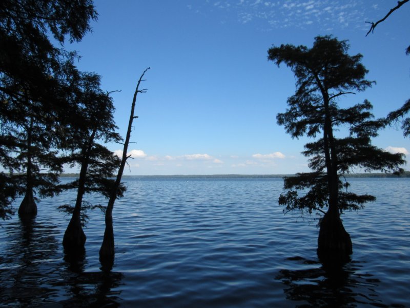
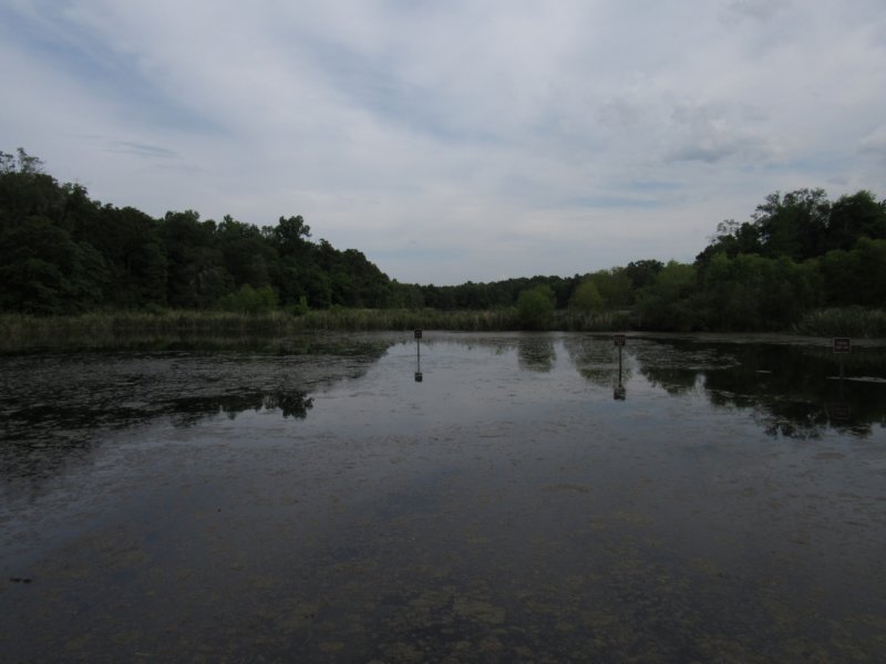
Reelfoot Lake State Park, TN
Boardwalk Trail, Keystone Trail
Length: 2 mi
Sep 14
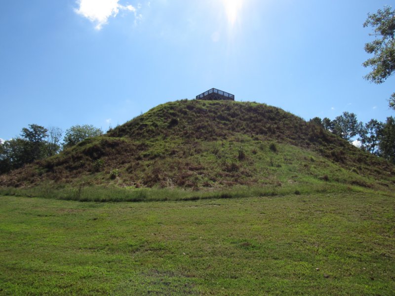
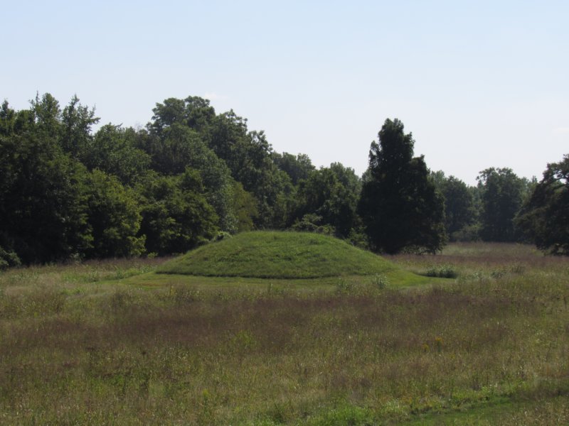
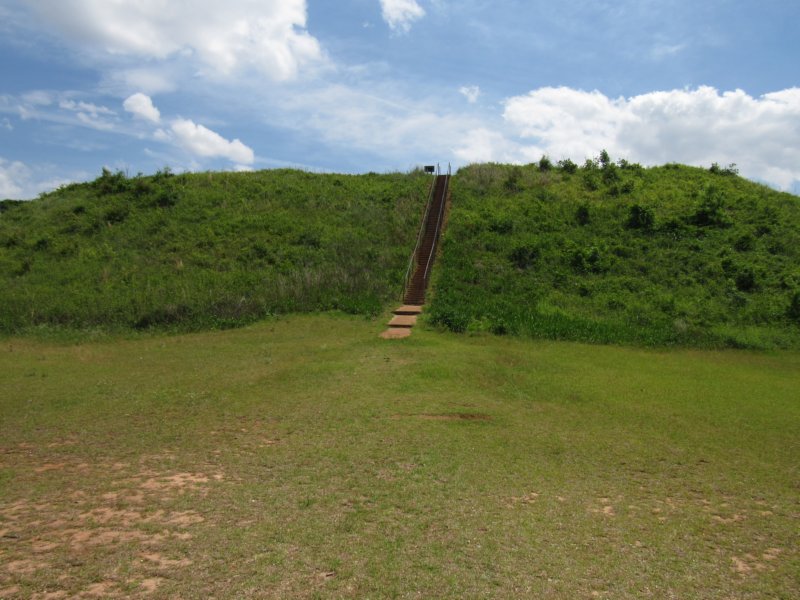
Pinson Mounds Archaeological State Park, TN
Sauls Mound, Outer Loop, Ducknest Access, Boardwalk Loop, Nature Trail, Eastern Citadel, Central Mounds
Length: 4 mi
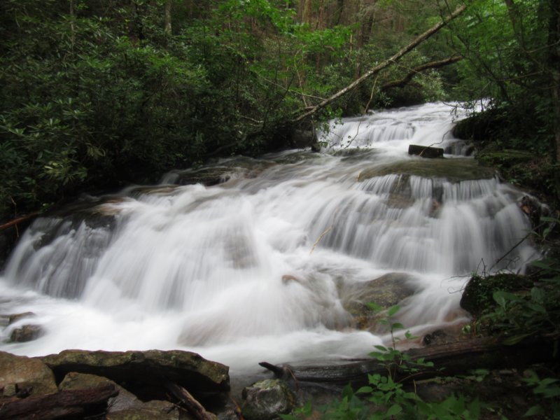
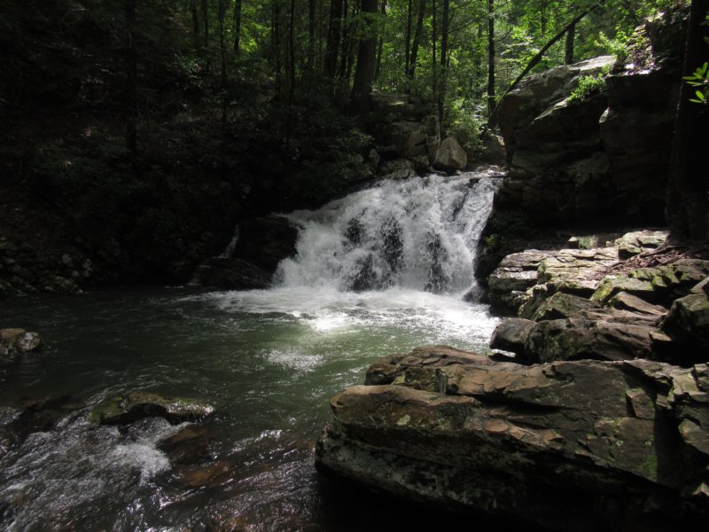
Aug 11
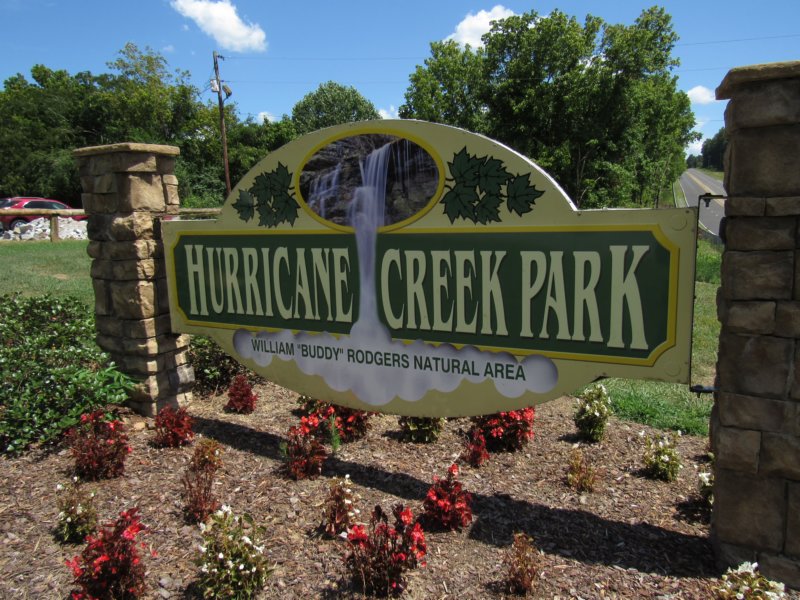
Hurricane Creek Park, AL
Hurricane Trail, Ridge Trail, Creek Trail, North Highland Trail
Length: 4 mi
Jul 8

Cherokee National Forest, TN
Scenic Spur, Rocky Gorge, Sugarloaf Overlook, Chilhowee Recreation Area, Benton Falls Trail
Length: 5.5 mi
Jul 7
Cherokee National Forest, TN
Lowry Trail, Hood Mountain Overlook, Big Bend, End of the Road, Appalachia Powerhouse
Length: 0.8 mi
Jul 7
Gee Creek Wilderness Area, TN
Gee Creek Trail
Length: 3 mi
Jul 6-8

Hiwassee / Ocoee Scenic River State Park, TN
Loop Trail
Length: 1 mi
July 1
Harpeth River State Park, TN
Newsom Mill, Hidden Lake (Bluebird, Ridge Loop), Gossett Tract (Lower/Upper Loop), Narrows (Tunnel, Bluff Trail)
Length: 6 mi
June 4
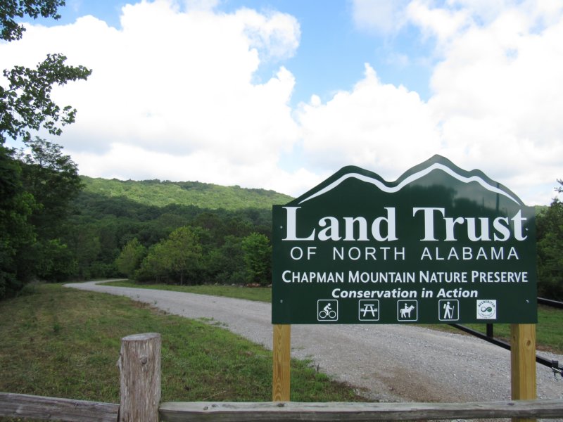
Chapman Mountain Preserve, AL
Amphitheater, Chasco, Driskell, Moonshine, Terry, Whole Planet Trail
Length: 3 mi
May 27
Eufaula National Wildlife Refuge, AL
Nature Trail, Wildlife Auto Tour/Drive
Length: 0.5 mi
May 27

Fort Mitchell Historical Park, AL
Chattahoochee Indian Heritage Center, Interpretive Trail
Length: 0.25 mi
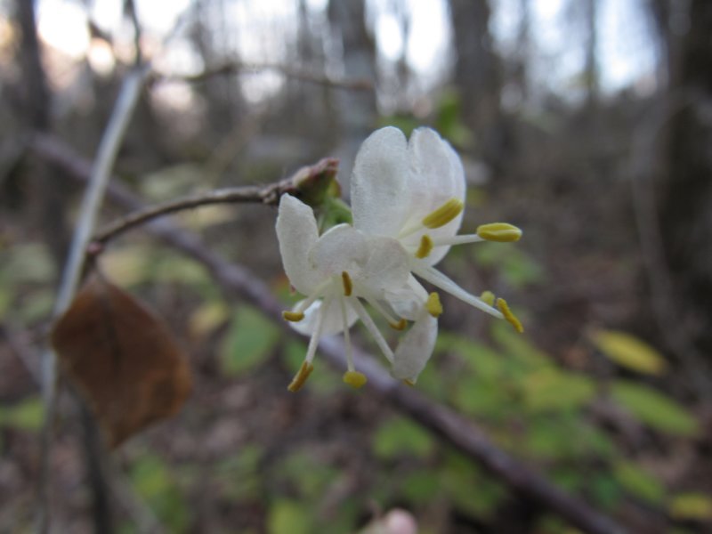
May 26

Callaway Gardens, GA
Ladybird Johnson Wildflower, Rhododendron, Holly Trail
Length: 2 mi
May 6
Frank Jackson State Park, AL
Honeysuckle Trail, Connector Trail
Length: 1 mi
May 6
Three Rivers State Park, FL
Lakeside, Ridge, Eagle Trail
Length: 4 mi
May 5-6
Chattahootchee State Park, AL
CCC, Dogwood, Turkey Strut, Tortoise Trail
Length: 3 mi
May 5
Kolomoki Mounds State Park, GA
White Oak Trail, Mound Trail, Trillium Trail
Length: 3.5 mi
May 4-5

Blue Springs State Park, AL
Magnolia Trail, Connector Trails
Length: 2 mi
April 27-29
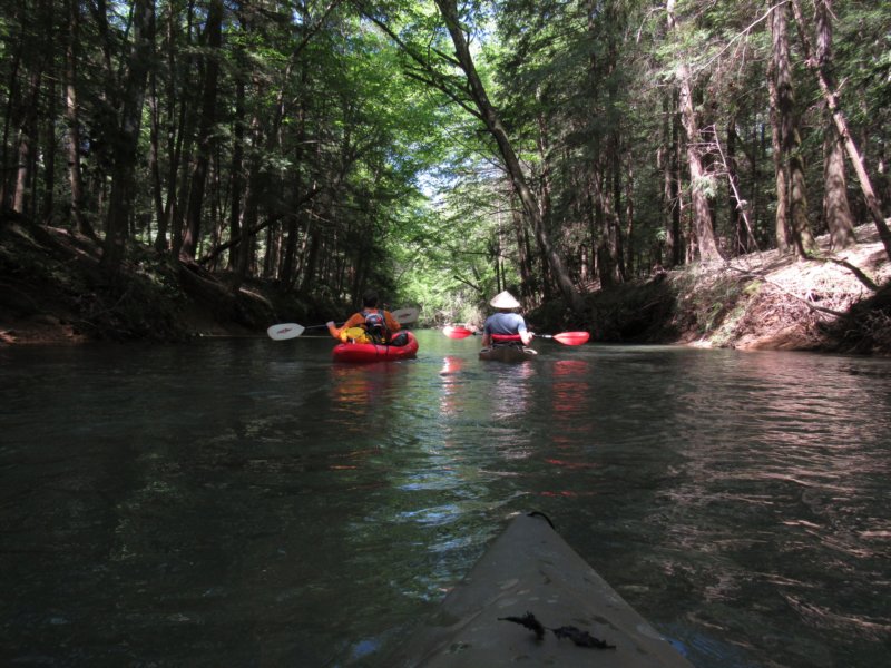
Bankhead National Forest, AL
Brushy Lake Recreation Area, Brushy Creek
Hiking: 1 mi, Paddling: 8mi
April 21
Paint Rock River Preserve, AL
Whitaker Loop, Cemtery Pass, Paint Rock Bottoms, Cole Spring Trail
Length: 3 mi
Apr 17
Wheeler National Wildlife Refuge, AL
undisclosed location
Length: 0.5 mi
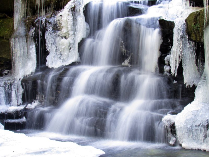
Mar 17
Falling Waters Falls SNA, TN
Falling Waters Falls Trail
Length: 0.4 mi
Mar 17

Chickamauga & Chattanooga National Battlefield, TN
Moccasin Bend District, Blue Blazes, Browns Ferry Federal Road Trail
Length: 3.2 mi
Mar 17
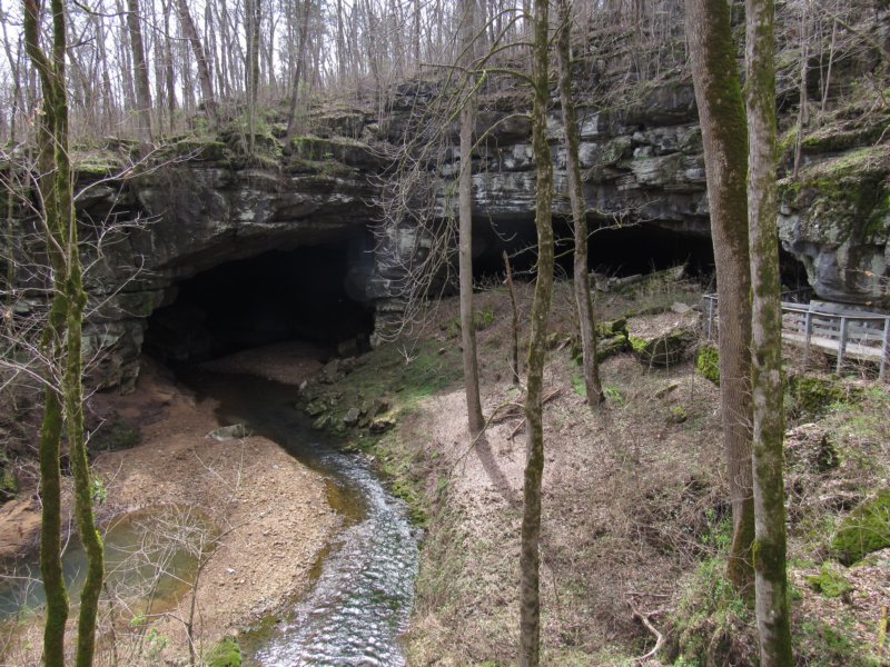
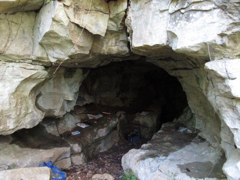
Russell Cave National Monument, AL
Cave boardwalk, Nature trail loop
Length: 2 mi
Feb 24
Bankhead National Forest, AL
Natural Bridge, Brushy Lake, Sipsey River Picnic Area
Length: 3 mi
Feb 19
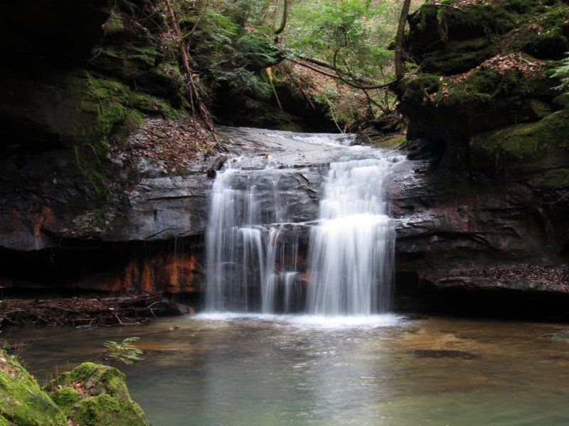
Sipsey Wilderness Area, AL
Eagle Creek, Little Ugly Creek, Hemlock Falls, Fernglade Falls
Length: 5.5 mi
Feb 9
Wade Mountain Preserve, AL
Fleming Trail, NICA Trail, Low Pass Trail
Length: 3 mi
Feb 3

Bankhead National Forest, AL
Upper Elam Creek, Blowing Springs
Length: 4.5 mi
Jan 6
Sipsey Wilderness & Bankhead NF, AL
Turkeyfoot, Kinlock Falls, Parker Branch, Caney Creek, Holmes Chapel Falls
Length: 5.5 mi
Jan 7
Sipsey Wilderness Area, AL
Randolph Trail, Feather Hawk Creek, Sipsey River Trail, Borden Creek Trail
Length: 7 mi
Jan 1

Green Mountain Preserve, AL
Alum Hollow, Talus, Ranger, Stone Fly, West Plateau Loop Trail
Length: 4.75 mi