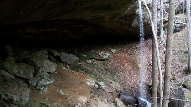
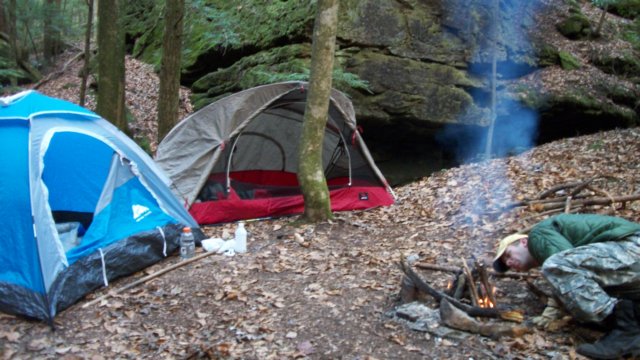
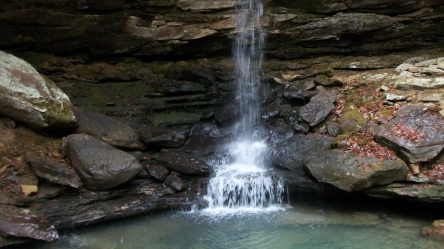
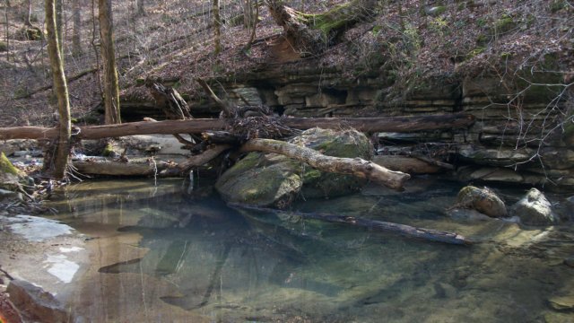
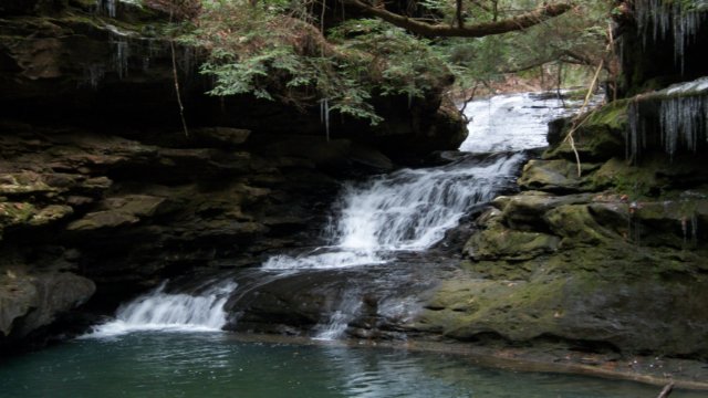
Dec 23
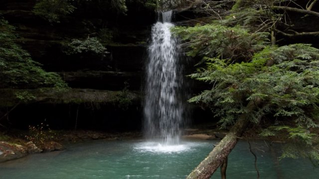
Bankhead National Forest, AL
Collier Creek
Length: 3 mi
Nov 25
Talladega National Forest, AL
Pinhoti Trail FS 500 north to Terrapin Reservoir #3
Length: 8 mi
Nov 5-6
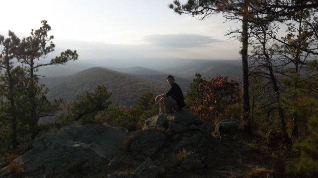
Flatside Wilderness Area, AR
Ouchita Recreation Trail
Length: 11 mi
Nov 3-5
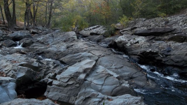
Hot Springs National Park, AR
Gulpha Gorge Trail, Goat Rock Trail, Grand Promenade
Length: 5 mi
Oct 29
Wheeler Wildlife Refuge, AL
White Springs Dike Trail
Length: 4 mi
Oct 15
Sipsey Wilderness Area, AL
Thompson Creek Trail, White Oak Hollow, Bee Branch
Length: 8 mi
Oct 12
Rainbow Mountain Trails, AL
Jamooko Loop Rainbow Mountain Loop
Length: 2 mi
Sep 16-17

Sipsey Wilderness Area, AL
Quillan Creek, Hubbard Creek, Thompson Creek Trail
Length: 5 mi
Aug 20-21

Lake Chelsea, AL
LNT Trainer Course
Length: -- mi
Aug 12-13
Bankhead National Forest, AL
Brushy Creek, Sougahoagdee Falls
Length: 3.75 mi
Jul 24
Harvest Square Preserve, AL
Beaver Dam Trail, Dry Creek Trail
Length: 2 mi
July 16-17
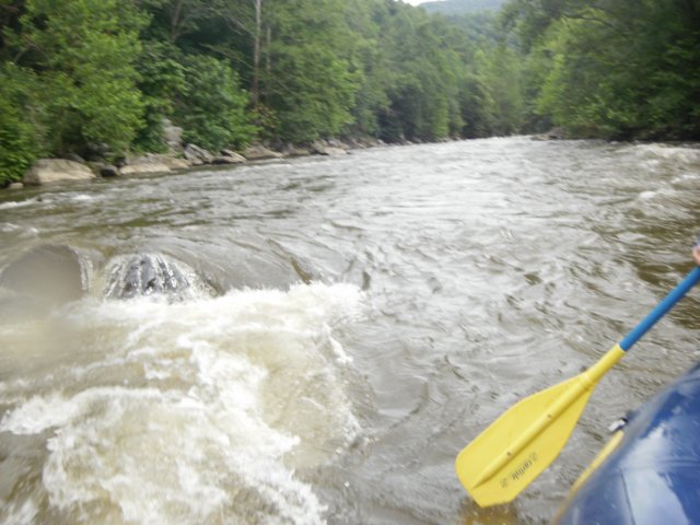
Cherokee National Forest, TN
Pigeon River rafting adventure
Length: 5.5 mi
Jul 16
Great Smoky Mountains NP, TN
Chimney Tops Trail
Length: 3.8 mi
Jun 11-12

Bankhead National Forest, AL
Rippey Trail, White Creek, Sipsey River Trail, Bee Branch, Randolph Trail
Length: 13 mi
May 20-21

Bankhead National Forest, AL
Caney Creek
Length: 3.5 mi
Apr 16
Sipsey Wilderness Area, AL
Borden Creek Trail
Length: 3.25 mi
Apr 3
Monte Sano State Park, AL
McKay Hollow, South Plateau, Fire Tower, North Plateau Loop
Length: 5 mi
Apr 2
Rainbow Mountain Trails, AL
Rainbow Mountain Loop, Spring Trail
Length: 2 mi
Mar 20

Monte Sano Preserve, AL
Alm's House Trail, Wildflower Trail
Length: 1.25 mi
Mar 19
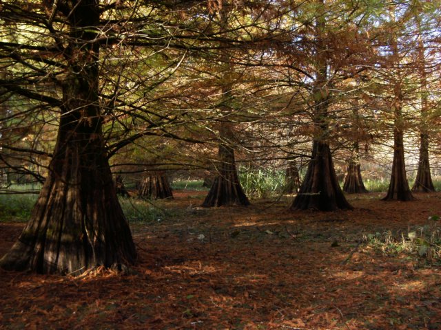
Wheeler Wildlife Refuge, AL
Beaverdam Swamp Boardwalk, Atkeson Cypress Trail
Length: 1.5 mi
Mar 12
Sipsey Wilderness Area, AL
Thompson Creek Trail, White Oak Hollow, Bee Branch, Sipsey River Trail
Length: 9.25 mi
Feb 27
Bankhead National Forest, AL
East Fork Beech Creek
Length: 3.75 mi
Feb 18-19
Sipsey Wilderness Area, AL
Quillan Creek, Riddle Creek
Length: 6.5 mi
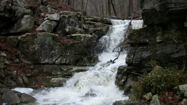
Feb 5
Bankhead National Forest, AL
West Fork Beech Creek
Length: 3.5 mi
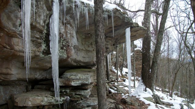
Jan 29
Bankhead National Forest, AL
Horse Creek
Length: 4 mi
Jan 23
Bankhead National Forest, AL
Upper Payne Creek
Length: 2 mi
Jan 21
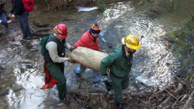
Bankhead National Forest, AL
Save the Birdman!
Length: 1 mi
Jan 15
Rainbow Mountain Trails, AL
Rainbow Mountain Loop, Wild Trail
Length: 1.5 mi
Jan 1
Monte Sano Preserve, AL
Alm's House Trail, Old Railroad Bed Trail
Length: 1.5 mi