
2010 Adventures
...the year in review...
January brought the coldest weather in years, and I spent two days with Jay Hudson and others on a waterfall tour in Sipsey and Bankhead to see fantastic ice formations. I'd camp much later in the year on my first solo backpacking trip at Parker Falls. Closer to home, I found a slice of Sipsey nestled in Mckay Hollow at Monte Sano State Park, home of the Devil's Well. Fall would bring the first of an annual series of trips to the backwaters of Lake Guntersville at Bucks Pocket State Park.
All Hiking Adventures[Camping Trips in RED, Cabin stays in BLUE] |
| Date | Preview | Locations | Length | Photos | Journal |
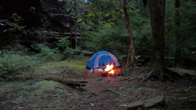
| Dec 23-24 | 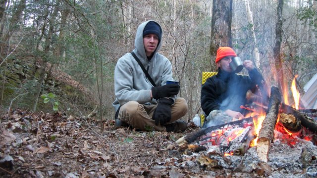 |
Sipsey Wilderness Area, AL
Parker Creek, Hubbard Creek, unnamed side canyon |
5 mi |  |
|
| Dec 11 | 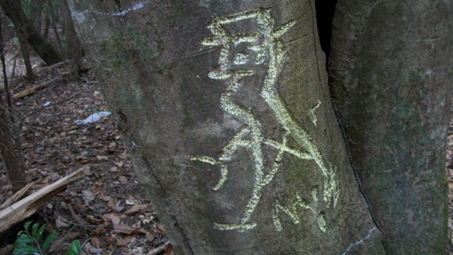 |
Bankhead National Forest, AL
Brushy Creek, Birdman Tree |
4 mi | |
|
| Dec 4 | 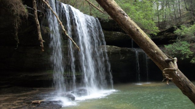 |
Bankhead National Forest, AL
Caney Creek, Kinlock Falls |
3.5 mi | |
|
| Nov 20 | 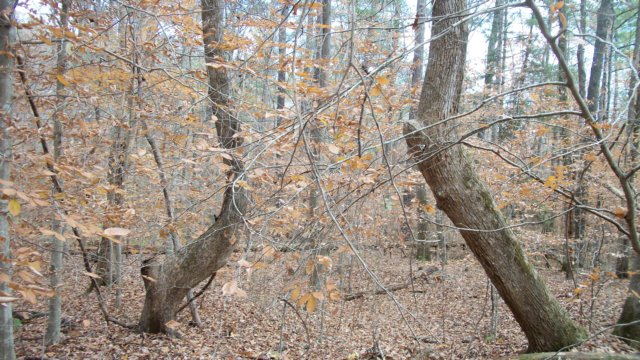 |
Bankhead National Forest, AL
Indian Tomb Hollow |
3 mi | |
|
| Nov 5-6 | 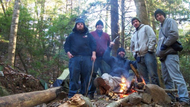 |
Bankhead National Forest, AL
Brushy Creek, Sougahoagdee Falls |
3.75 mi | |
|
| Oct 30 | 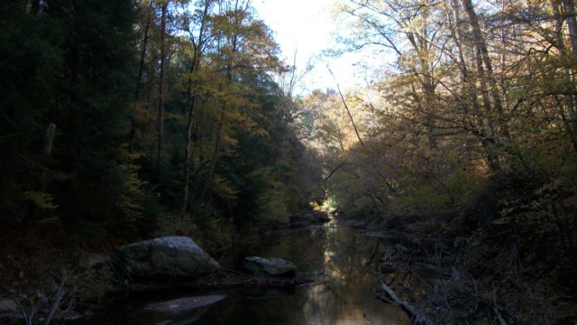 |
Sipsey Wilderness Area, AL
Randolph Trail, Sipsey River Trail, Bee Branch, Rippey Trail |
11.5mi | |
|
| Oct 1-3 | 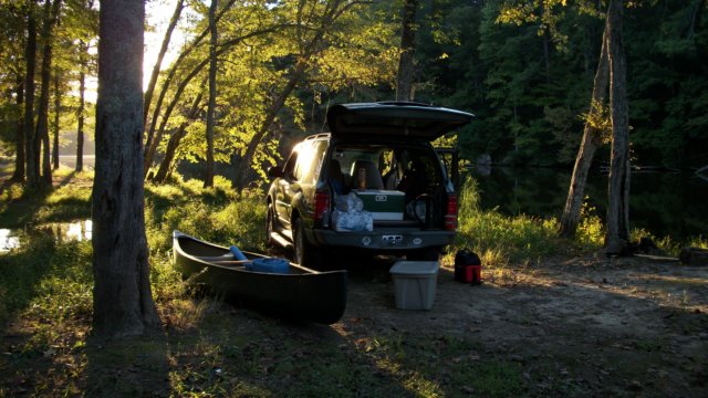 |
Bucks Pocket State Park, AL
Morgan's Cove, Indian House Trail + High Falls Park near Geraldine, AL |
3 mi | |
|
| Sep 4-5 | |
Sipsey Wilderness Area, AL
Parker Creek |
3 mi | |
|
| Aug 28 | 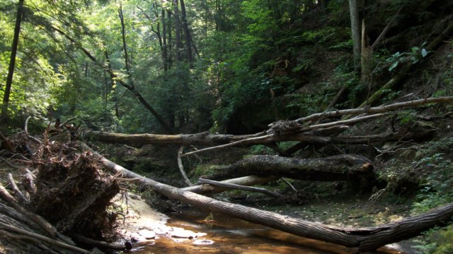 |
Bankhead National Forest, AL
Payne Creek, Sipsey River |
6 mi | |
|
| Aug 21 | 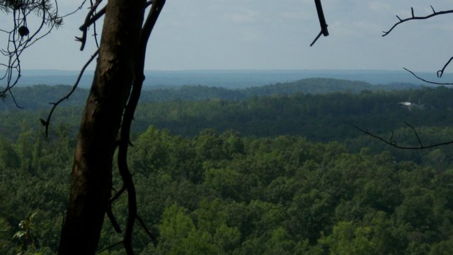 |
Moss Rock Preserve, AL
Orange Trail, White Trail |
3.5 mi | |
|
| Aug 14 | 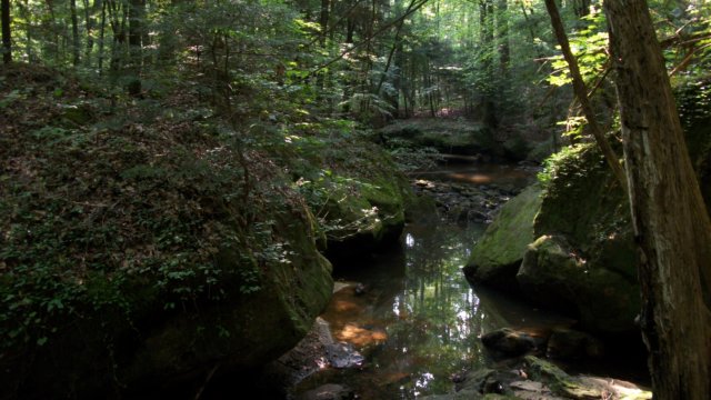 |
Sipsey Wilderness Area, AL
Braziel Creek |
6 mi | |
|
| Jul 24 |  |
Wade Mountain Preserve, AL
Devil's Racetrack Trail |
3 mi | |
|
| June 26 | 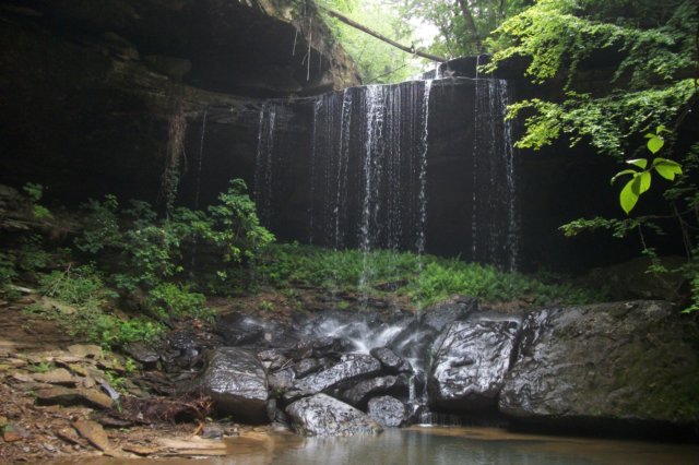 |
Bankhead National Forest, AL
Brushy Creek, Sougahoagdee Falls |
3.75 mi | |
|
| May 29 | 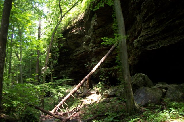 |
Bankhead National Forest, AL
Upper Gillespie Creek |
2 mi | |
|
| May 15 |  |
Blevins Gap Preserve, AL
Fanning Trail |
3 mi | |
|
| May 14 |  |
Rainbow Mountain Trails, AL
Rainbow Mountain Loop, Spring Trail, Wild Trail |
6 mi | |
|
| May 1 | 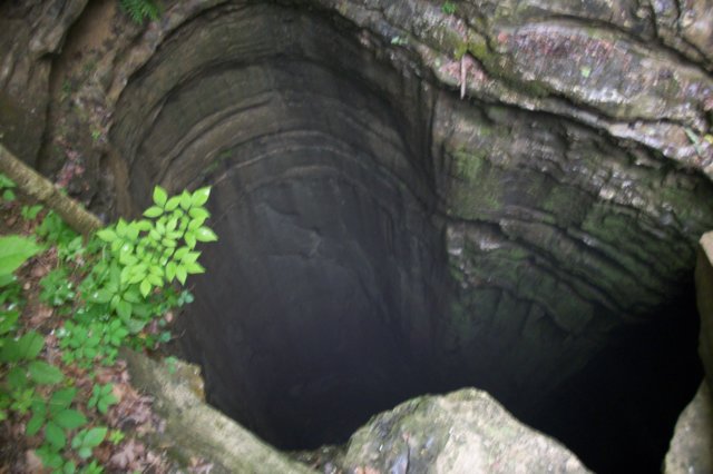 |
Monte Sano State Park AL
McKay Hollow Trail, Arrowhead Trail, Natural Well Trail |
3 mi | |
|
| Apr 25 | 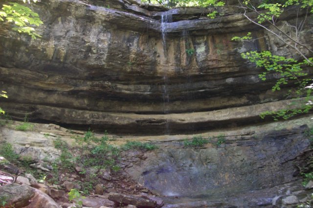 |
Monte Sano State Park, AL
Alm's House Trail, Fagan Springs Trail, Wildflower Trail, Sinkhole Trail, Three Caves Quarry, Waterline Trail, Annandale Trail, Bluffline Trail, Old Railroad Bed Trail |
5 mi | |
|
| Apr 12 | 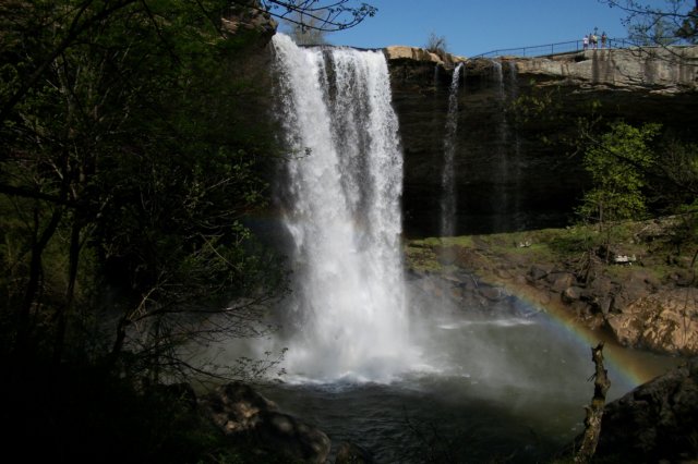 |
Noccalula Falls Park, AL
Gorge Trail |
2 mi | |
|
| Apr 2 | 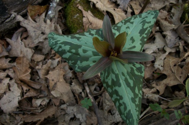 |
Rainbow Mountain Trails, AL
Rainbow Mountain Loop |
2 mi | |
|
| Mar 12-14 | 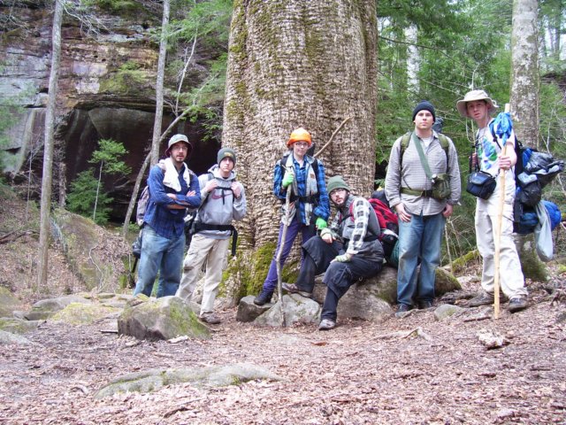 |
Sipsey Wilderness Area, AL
Turkeyfoot Creek, Thompson Creek Trail, White Oak Hollow, Bee Branch, Sipsey River Trail |
11 mi | |
|
| Mar 7 |  |
Sipsey Wilderness Area, AL
Randolph Trail, Rippey Trail, White Creek, King's Cove |
9 mi | |
|
| Feb 27 | 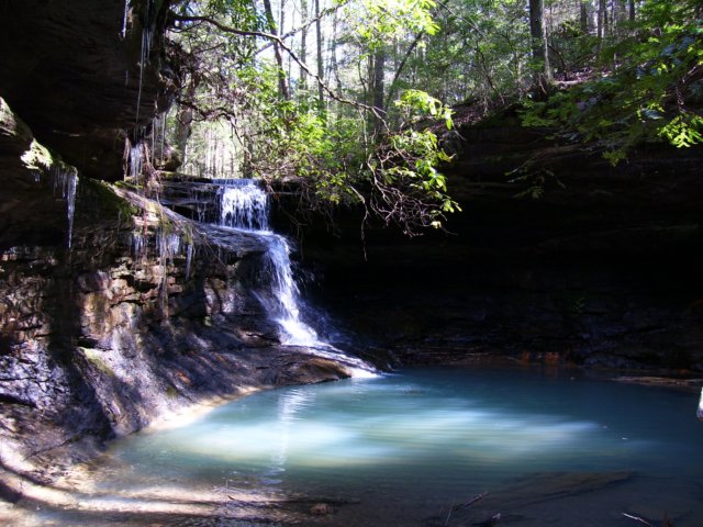 |
Bankhead National Forest, AL
Key Mill Branch |
4.5 mi | |
|
| Feb 14 | 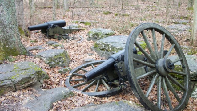 |
Stones River National Battlefield, TN
Boundary Trail |
1 mi | |
|
| Jan 31 | 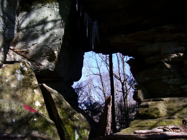 |
Sipsey Wilderness Area, AL
Thompson Creek Trail, Old Trail 205, West Bee Branch, White Oak Hollow |
8 mi | |
|
| Jan 18 | 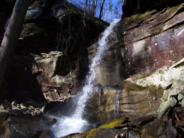 |
Sipsey Wilderness Area, AL
Thompson Creek Trail, White Oak Hollow, East Bee Branch, West Bee Branch |
5 mi | |
|
| Jan 9 & 10 | 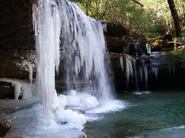 |
Bankhead National Forest, AL
Turkeyfoot Creek, Braziel Creek, Holmes Chapel Falls, Brusky Lake, Kinlock falls, Parker Creek, Caney Creek |
6 mi | |